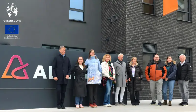
Our GreenScope project partners joined us in Zagreb for the kick-off meeting on 19 and 20 November. Over these two days, we had the opportunity to get to know each other better, dive deeper into the topics we will work on over the next three years and start planning concrete steps for the implementation of the project. The GreenScope project brings together leading universities and experts from across Europe with one strong goal: to equip future generations of students and educators with modern digital tools for effective environmental monitoring and protection.
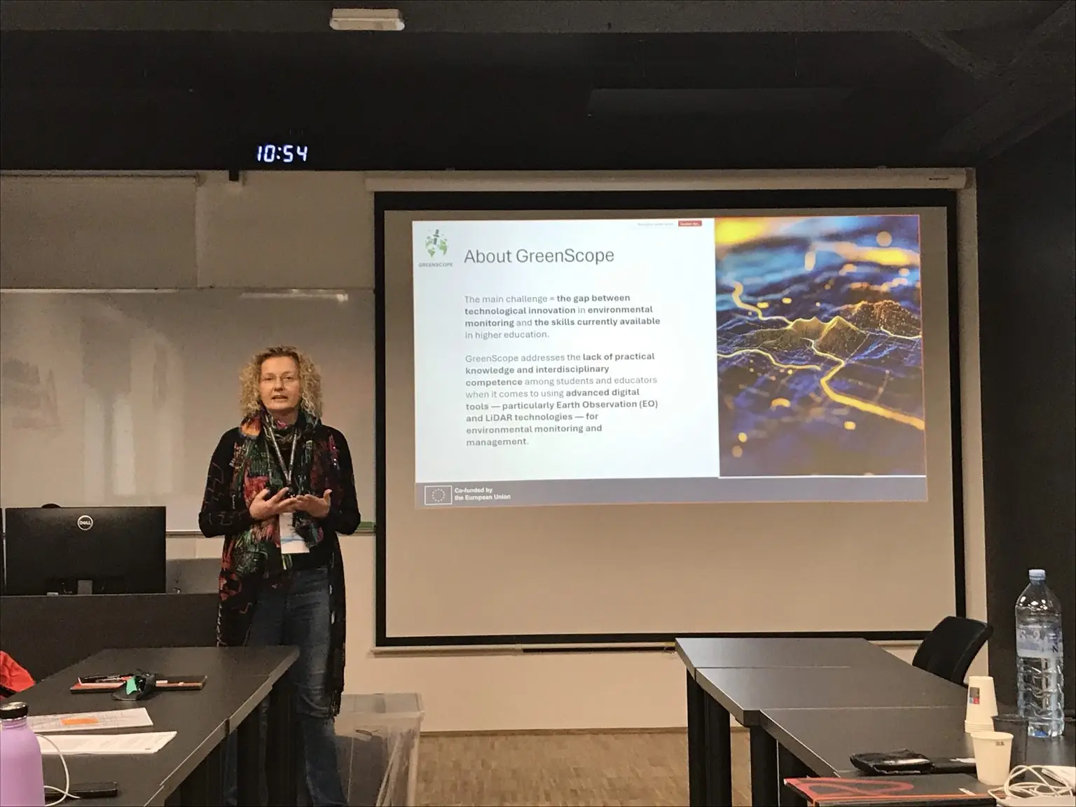
The meeting began with a presentation of the project plan and objectives, after which we focused on the core topics. Professor Ivan Tomljenović prepared an in-depth lecture on what the concept of Earth observation (EO) actually means, how and for what it is used, and what role LiDAR technologies and data play in this context. Through concrete examples, he showed what can be achieved with EO and LiDAR data when we know how to collect, process and interpret them properly.
We then turned to the research methodology that we will use in the project to examine how Earth observation is currently carried out in our countries. We want to identify which skills are needed to conduct Earth observation in a more traditional way, and which competences are required for advanced use of LiDAR technologies and modern digital tools.
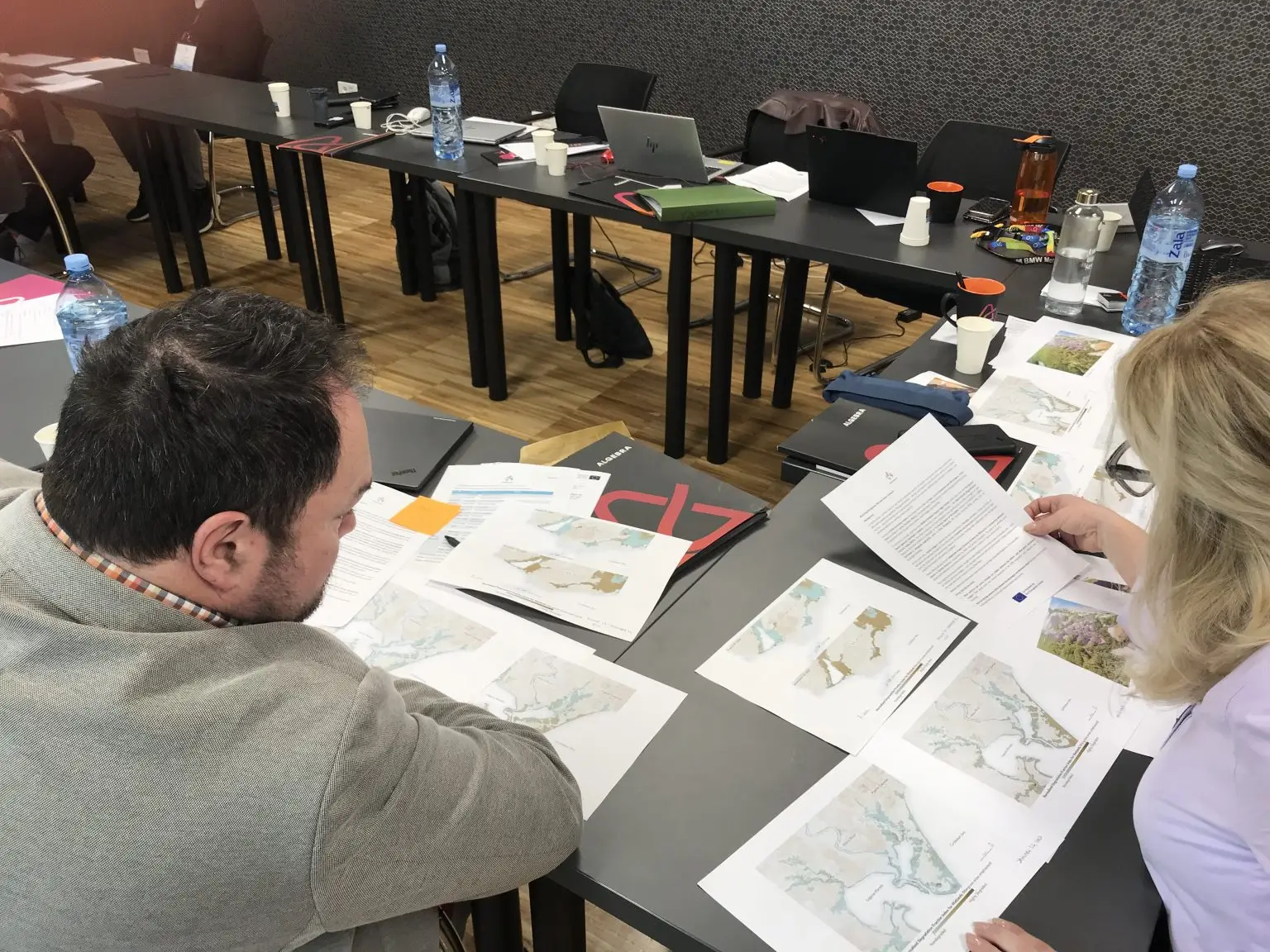
To better understand the types of data we will be working with, we discussed examples of how different data sources can be used: drone imagery of the environment, satellite images and LiDAR data. We analysed images from different parts of the world, from forested areas of New England in the USA, where LiDAR data helped uncover an archaeological site, to mangrove forests in Honduras and the monitoring of their recovery after a hurricane. We concluded that these technologies can provide extremely valuable insights into the state of the environment, but we also touched on important limitations, such as privacy protection.
During one part of the workshop, we took on different roles, from a university archaeology professor and the owner of an environmental management company to a forest ranger and a forest owner. From these different perspectives, we explored why EO and LiDAR data would be useful to us, what needs and prerequisites we have in order to be able to use these data at all, what obstacles we face and which services or processes we could improve with the help of such data. This exercise helped us better identify where there are gaps in knowledge and resources, and what the project needs to deliver in order for these data to truly become part of everyday practice.
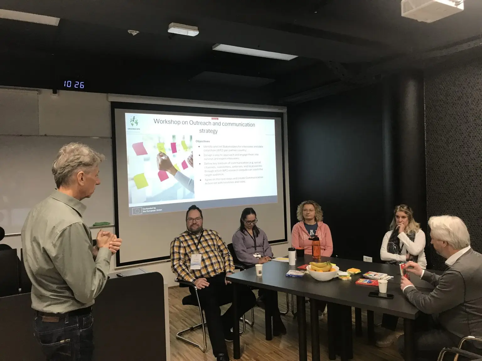
On the second day, we focused on identifying the specific target groups that we believe would benefit the most from our project and how we can best reach them. We played a kind of detective game: we imagined ourselves in 2028, at the project’s final conference, and tried to picture who the people in the audience are, why they came and what they are interested in. From that perspective, thinking backwards, we managed to connect different target groups with the activities we will implement throughout the project. In addition, we now have a clearer idea of whom we want to involve in our national research on the use of EO and LiDAR data.
The two days passed quickly, filled with hard work, exchange of ideas, socialising and laughter, and with a clear conclusion: we have a very strong consortium and we are looking forward to the meaningful results we will achieve together.
We would like to thank our partners Paris Lodron University of Salzburg (Austria), Rosenheim University of Applied Sciences (Germany), Satakunta University of Applied Sciences (Finland), AlterContacts (The Netherlands).
We are looking forward to our next steps together.