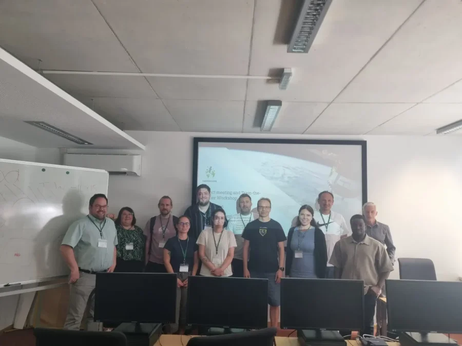
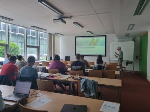
On 6-7 July 2026, project partners of the Erasmus+ project GreenScope: Advancing Student Skills in Environmental Monitoring Using Earth Observation and LiDAR Data met in Salzburg, Austria, for a two-day Train-the-Trainer Masterclass hosted by Paris Lodron University of Salzburg (PLUS) and its Department of Geoinformatics (Z_GIS). The event brought together educators, researchers, and academic staff from Algebra Bernays University (Croatia), Satakunta University of Applied Sciences (Finland), TH Rosenheim (Germany), and PLUS (Austria).
The masterclass marked an important milestone in the GreenScope project, supporting the development of innovative educational content and strengthening the capacity of partner institutions to teach emerging geospatial technologies for environmental monitoring.
Building Capacity for Environmental Monitoring
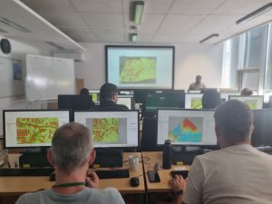
Over the course of two intensive days, participants explored the fundamentals and practical applications of Earth Observation (EO), remote sensing, Synthetic Aperture Radar (SAR), and LiDAR technologies. The programme combined expert-led lectures with hands-on exercises that enabled participants to work directly with satellite, radar, and LiDAR datasets.
Training sessions covered:
- Introduction to Earth Observation and remote sensing principles;
- Practical processing and visualization of optical satellite imagery;
- Fundamentals and applications of SAR data;
- Introduction to LiDAR datasets and analysis methods;
- Use of professional and open-source tools, including SNAP and Jupyter Notebook environments.
Through practical exercises, participants gained valuable experience in accessing, processing, and interpreting geospatial data used to monitor environmental change, natural resources, ecosystems, and land use.
Preparing Educators for the GreenScope Curriculum
A central objective of the masterclass was to prepare educators for the future implementation of GreenScope learning materials and curriculum modules. During dedicated workshop sessions, representatives of each partner institution discussed how Earth Observation and LiDAR topics can be integrated into existing courses and study programmes. Participants exchanged experiences, identified institutional needs, and explored opportunities for incorporating geospatial technologies into teaching activities across environmental science, engineering, geoinformatics, and sustainability-related disciplines.
The discussions also contributed to the development of future GreenScope outputs, including educational modules, online learning resources, and a project MOOC designed to support students in acquiring advanced digital and green skills.
Strengthening European Cooperation
Beyond the technical training, the event provided an opportunity for project partners to strengthen collaboration and exchange expertise. By bringing together institutions with complementary strengths in geoinformatics, environmental sciences, digital education, and applied research, the masterclass supported GreenScope’s wider goal of addressing skills gaps in environmental monitoring and promoting innovative learning approaches in higher education.
As the project progresses, the knowledge gained during the Salzburg masterclass will contribute to the creation of educational resources that help prepare future professionals to address environmental challenges through data-driven solutions and advanced geospatial technologies.